Bay Area Weather Intelligence
Weather mapping shaped by the Bay's layered microclimates.
A cleaner view into live forecasts, terrain-aware visualizations, and neighborhood-scale weather patterns across the region.
Live view
Current Bay Area map preview
Live Bay Area preview
Live data
Comfort score
0-100
Featured fog tools
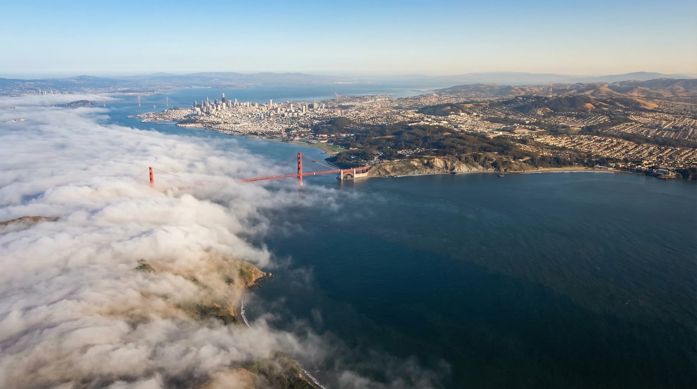
Bay Area fog forecast and climatology
Check the live marine layer map for the next 36 hours, then compare annual fog-hour patterns across San Francisco, the coast, Marin, Oakland, the Peninsula, and inland valleys.
Designed around layers
Cleaner entry points into maps, terrain, and weather context.
Live weather layers
Real-time map views blend comfort, clouds, wind, and temperature into a more useful read on Bay Area conditions.
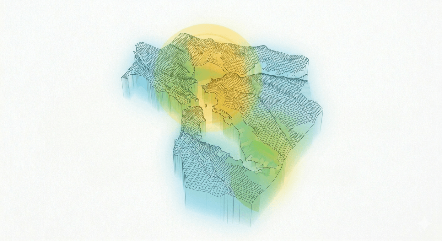
Open map →Atmospheric 3D views
Explore terrain-aware fog and weather scenes that make elevation, marine pushes, and inland heat easier to compare.
View 3D →Microclimate reporting
Forecast explainers and local weather stories connect the map data to what people actually feel across the region.
Read more →Editorial layer
Fresh reporting from the weather guide
Why the Bay Area Has So Many Microclimates
A 10-mile drive in the Bay Area can mean a 20-degree temperature change. Here is why the region has more distinct microclimates than anywhere else in California.
6min read →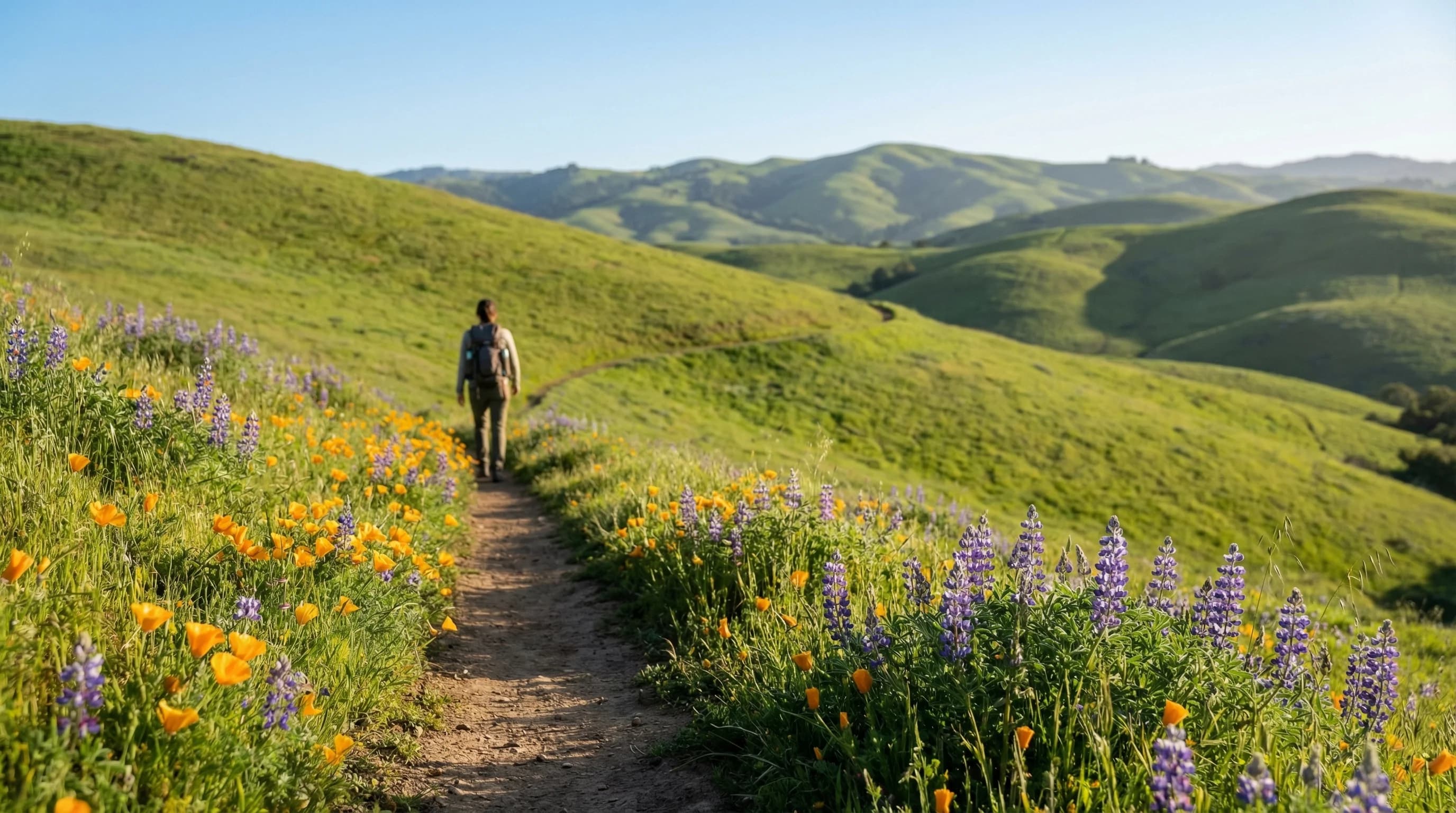
Best Months for Hiking in the Bay Area
Bay Area hiking has two ideal windows: spring wildflower season (April to May) and fall clearing season (September to October). Summer is complicated, and winter is muddy. Here is how to plan.
6min read →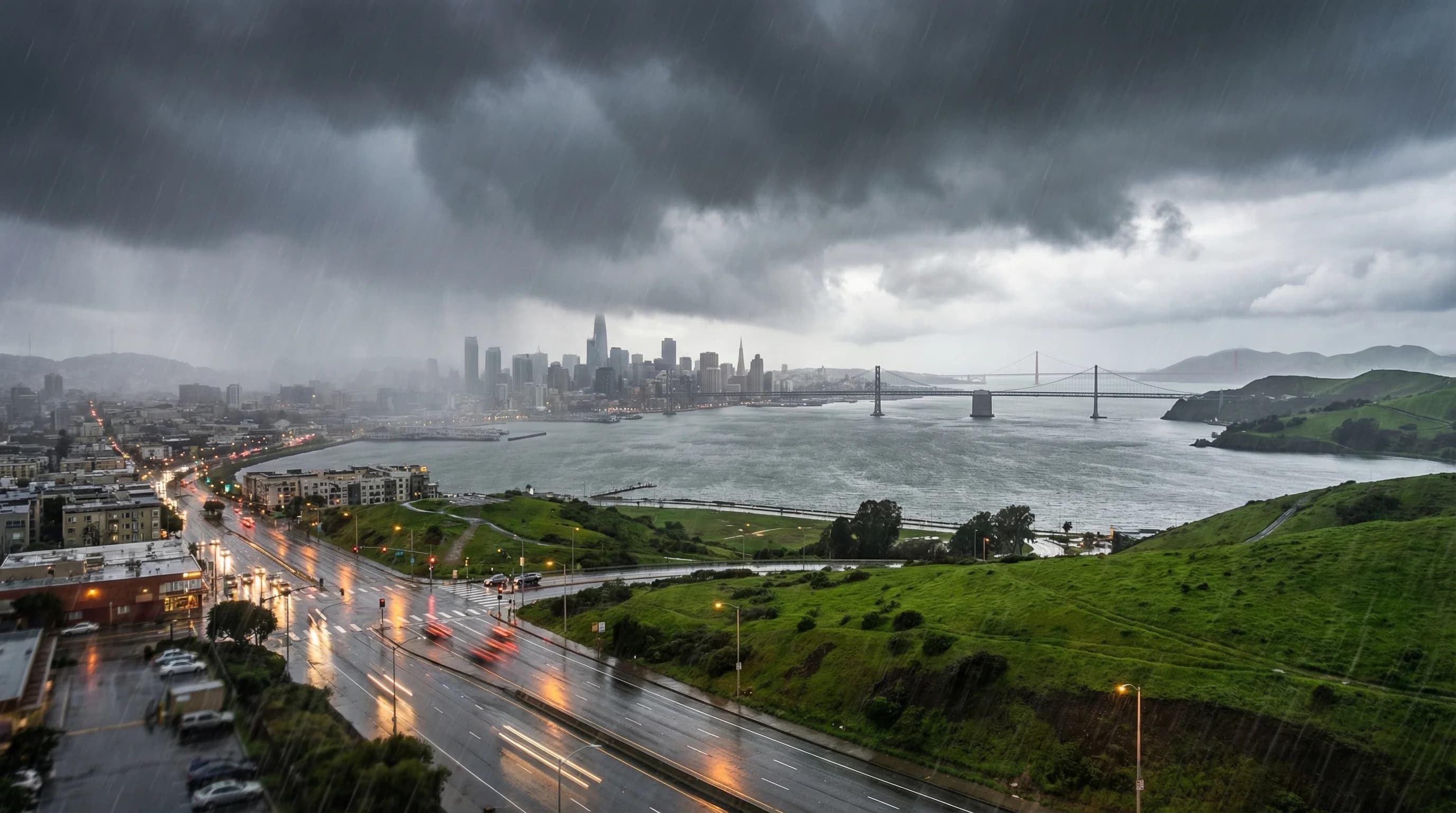
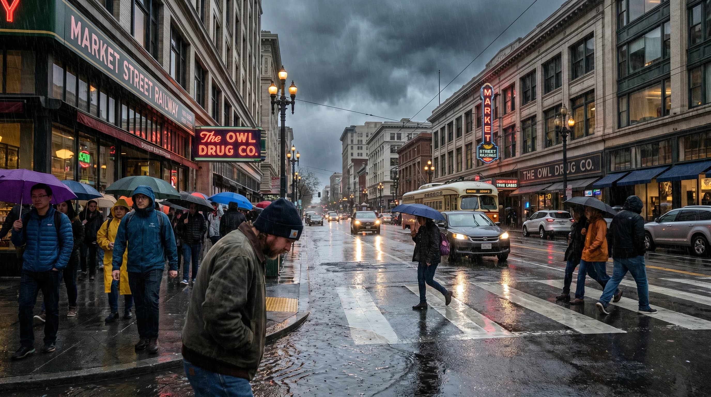
The Bay Area Wet Season: November to March Explained
San Francisco packs 22 inches of annual rain into a five-month wet season from November through March. The other seven months average essentially zero rainfall. Here is how this Mediterranean pattern works.
7min read →Popular articles
Most-seen weather guides
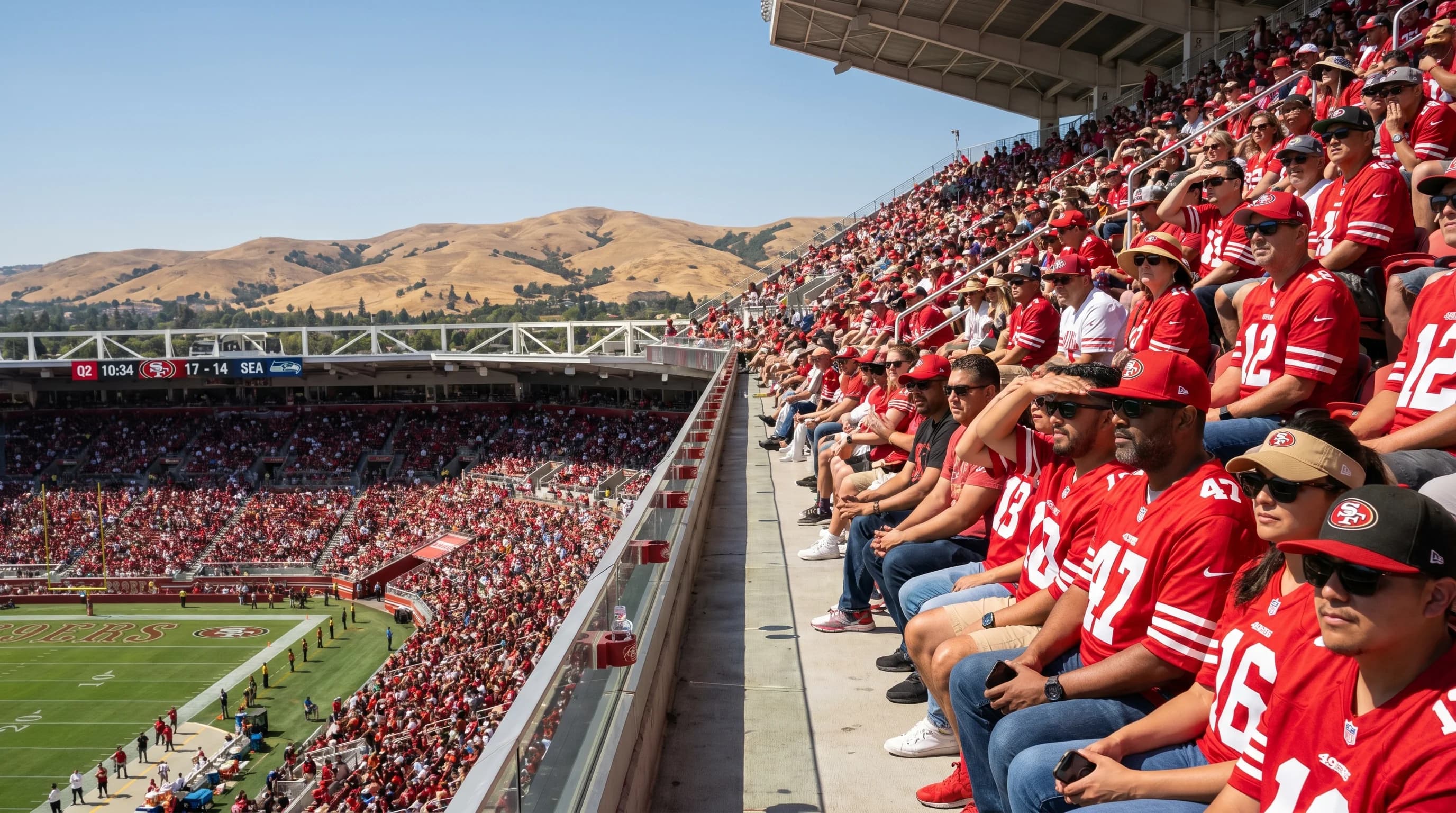
San Francisco Bay Area Stadium Weather: Levi's Stadium Temperature Guide
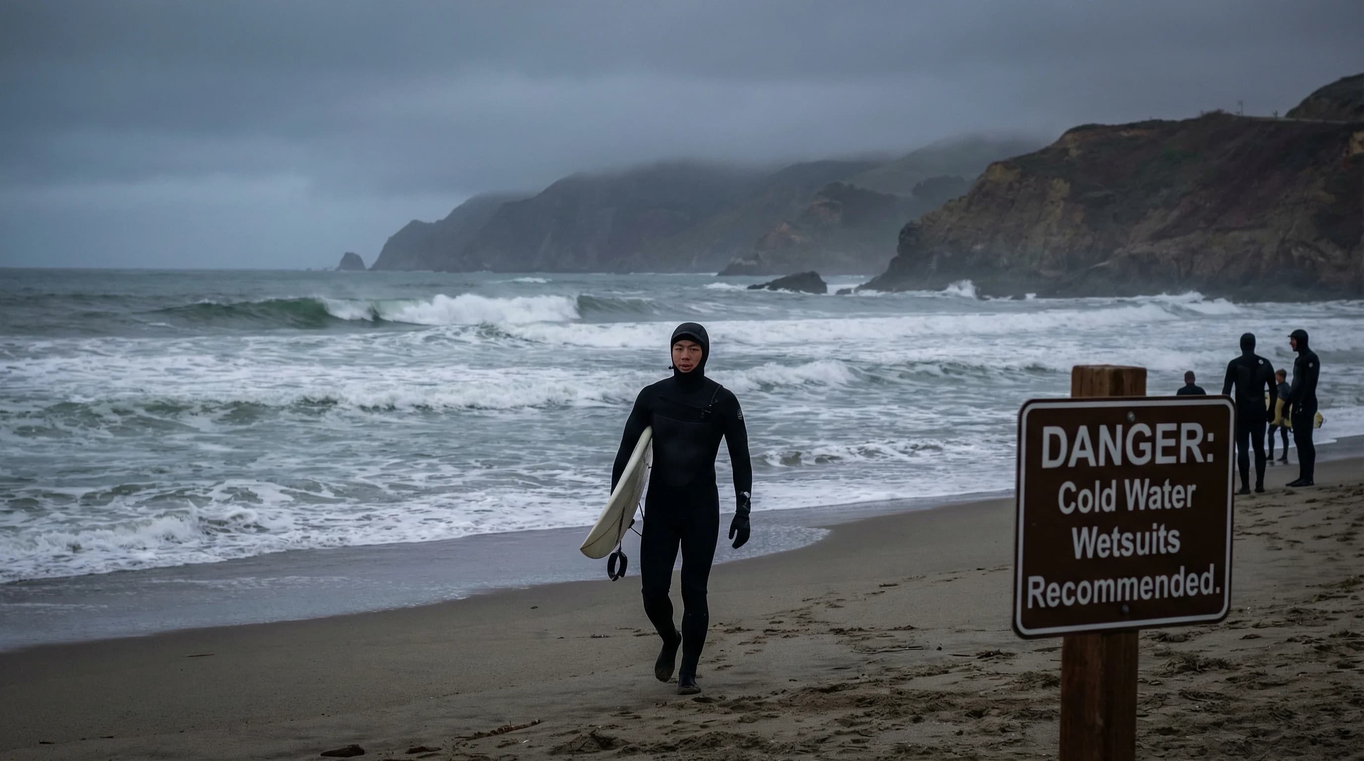
Bay Area Ocean Water Temperatures: When Is It Warm Enough to Swim?
San Francisco Rainfall Totals: How Much Rain Does SF Get Each Year?

San Francisco Weather by Neighborhood: Mission vs. Sunset
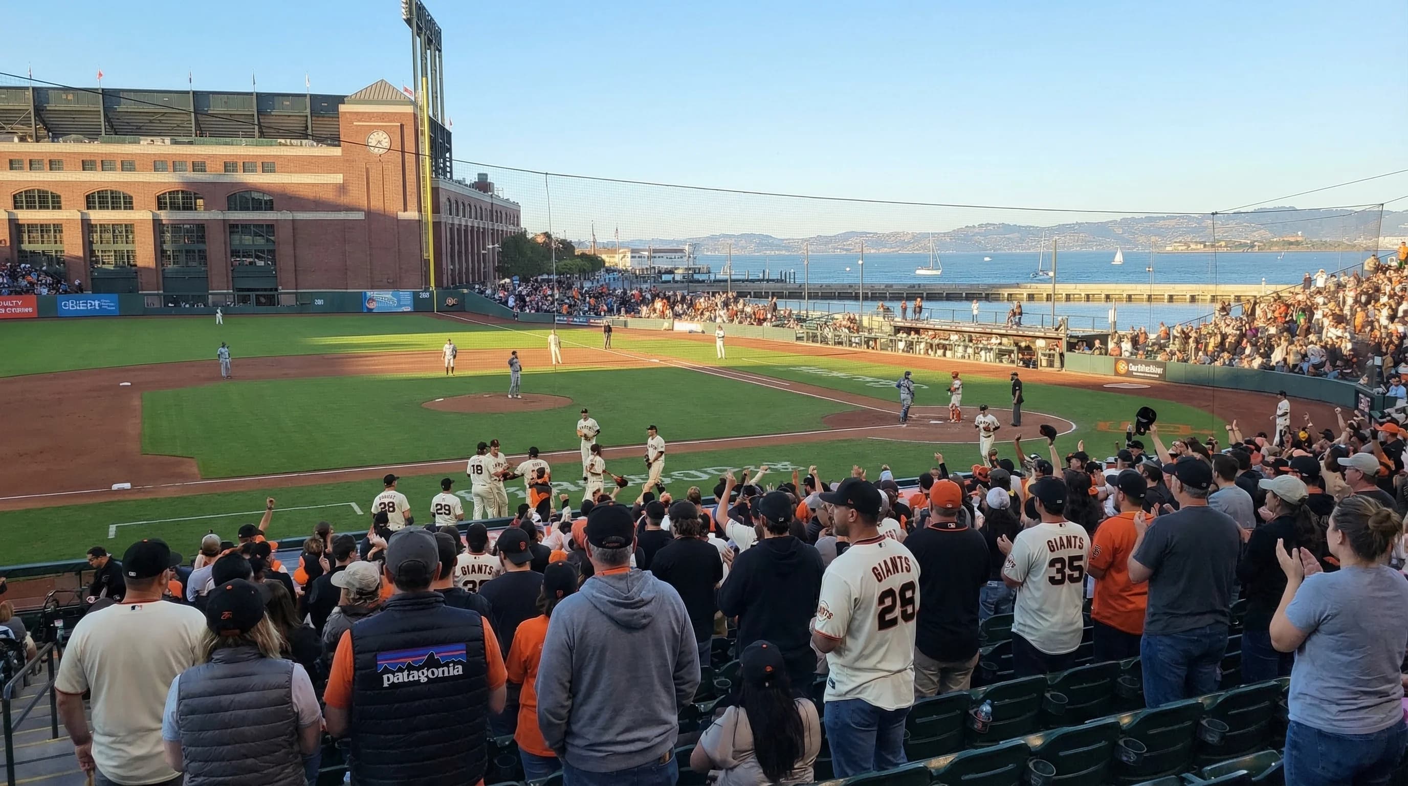
Best Weather for SF Giants Games at Oracle Park
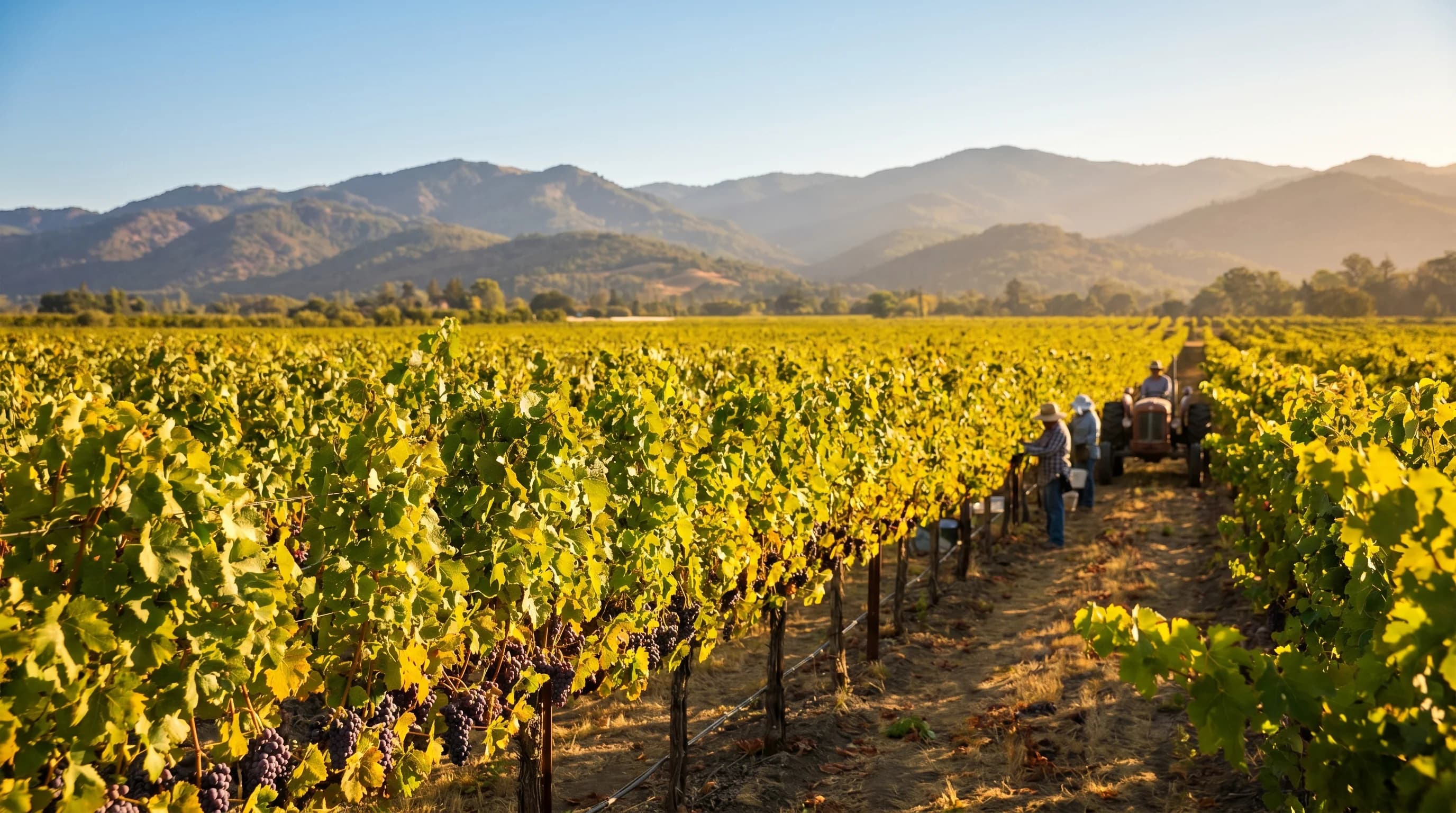
Napa Valley Weather Guide: Best Times to Visit and What to Expect
Why the Bay Area Has So Many Microclimates
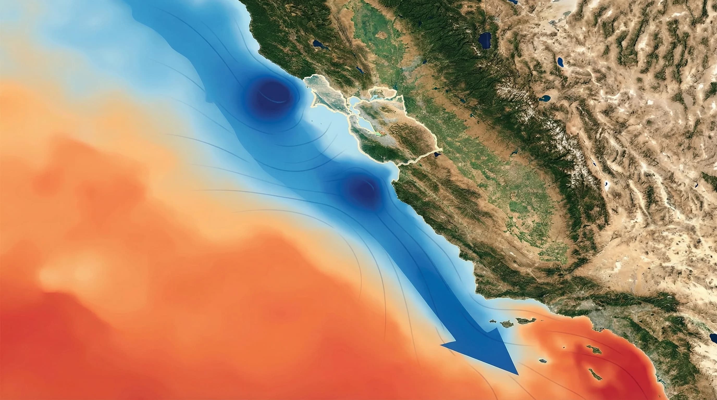
How Pacific Ocean Currents Create Bay Area Fog
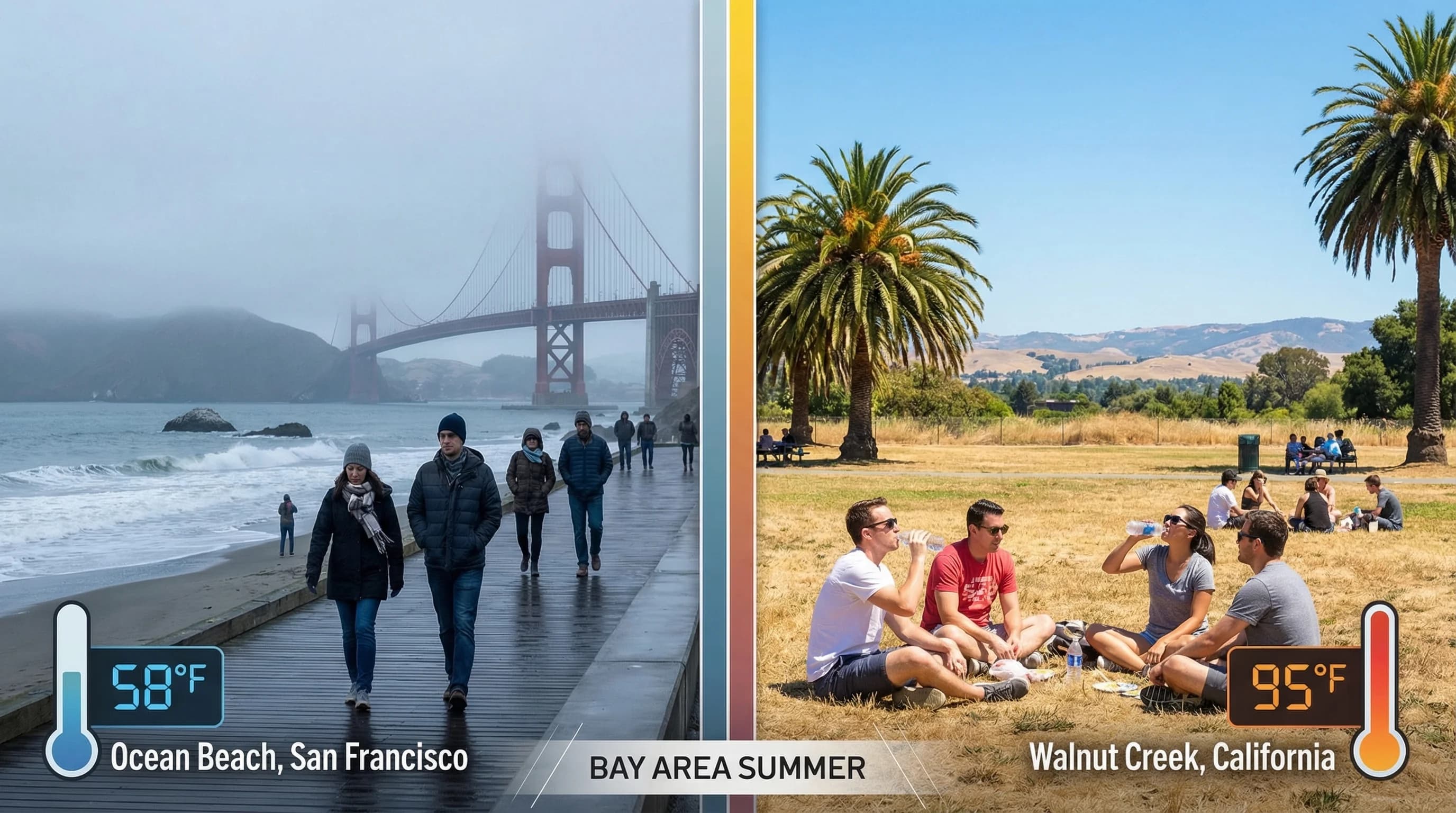
Bay Area Coastal vs. Inland: 30-Degree Temperature Differences